
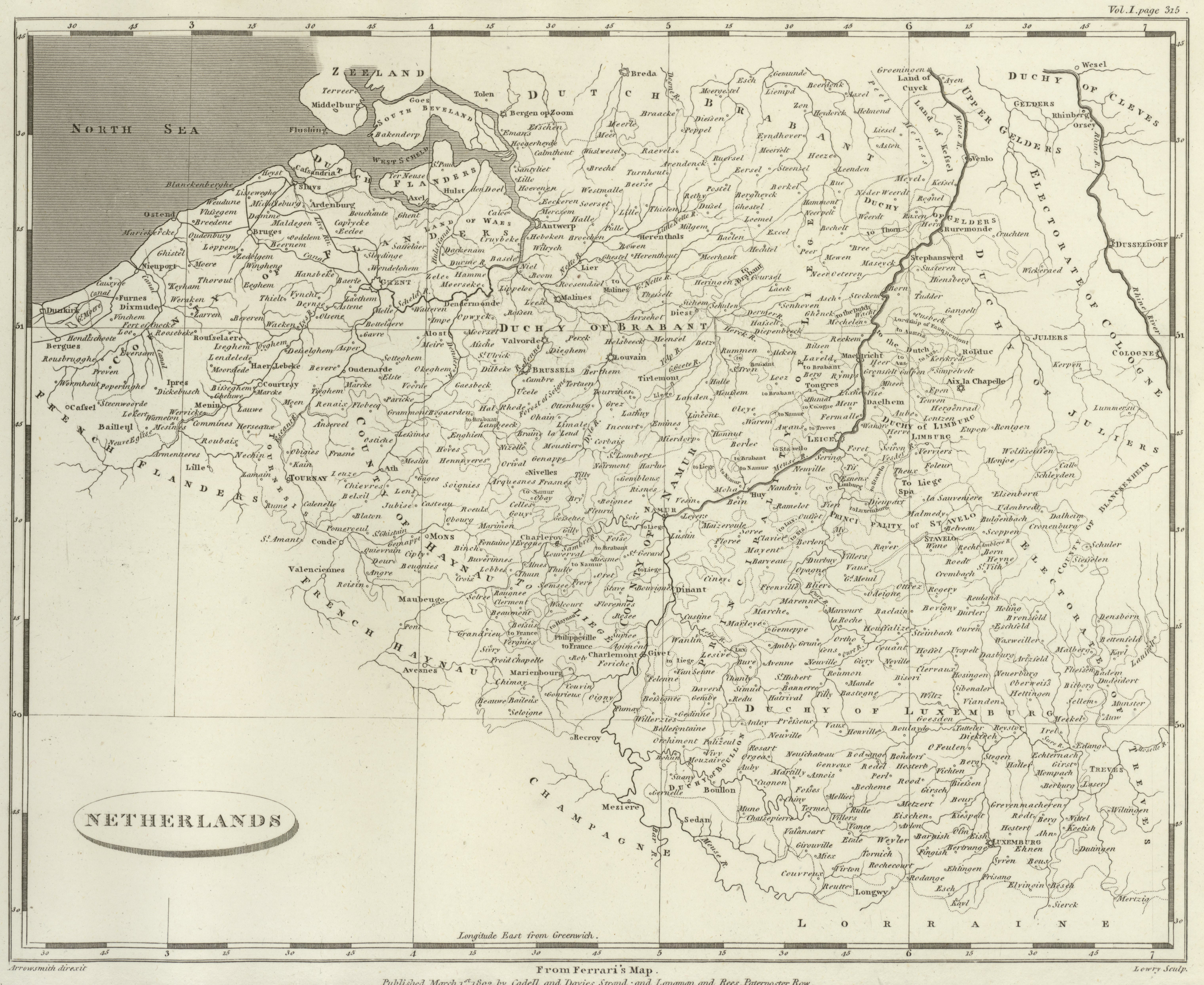
Aaron Arrowsmith (1750 - 1823)
AANetherlands - 6324374 bytes

(Reprint)
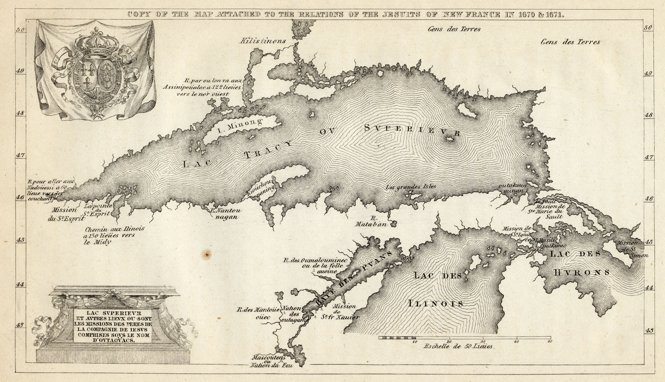
LakeSuperior.jpg - 4436511 bytes

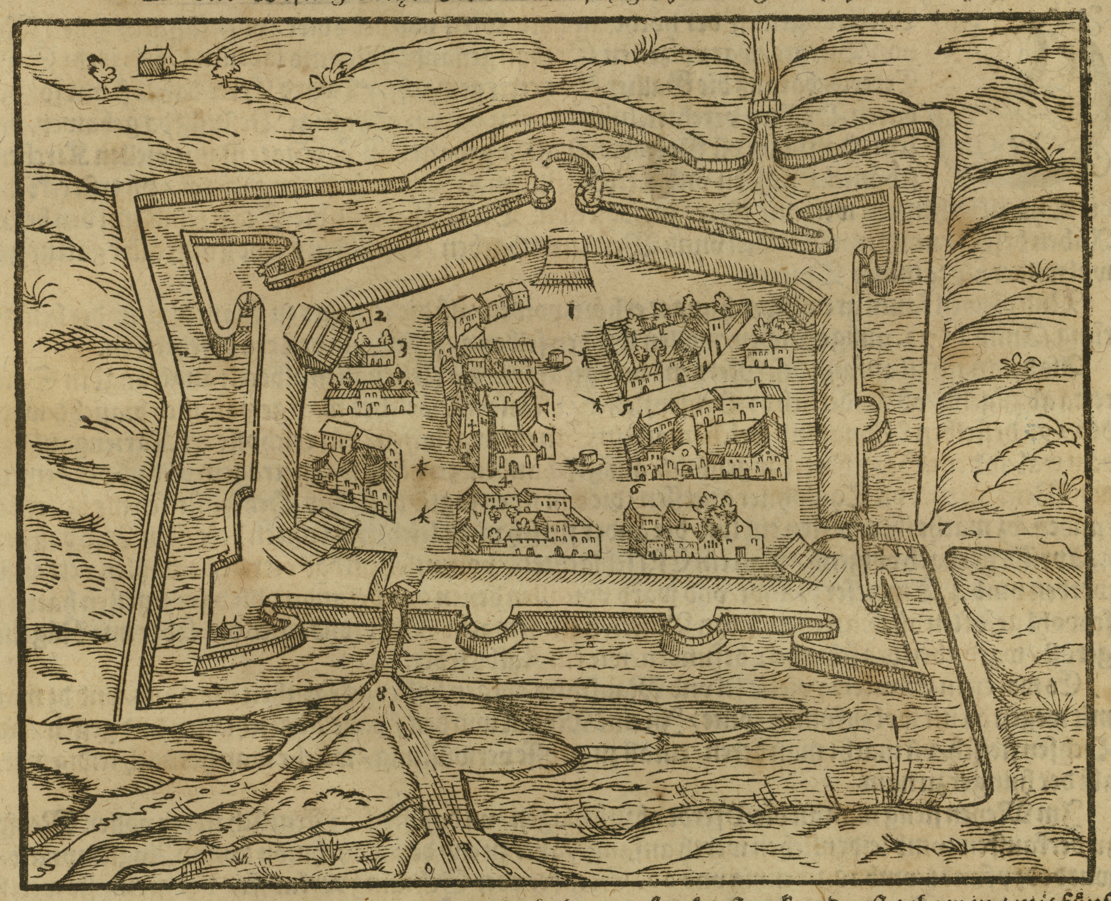
Sebastian Münster (1489 - 1552)
MunsterCalais.jpg - 2561097 bytes

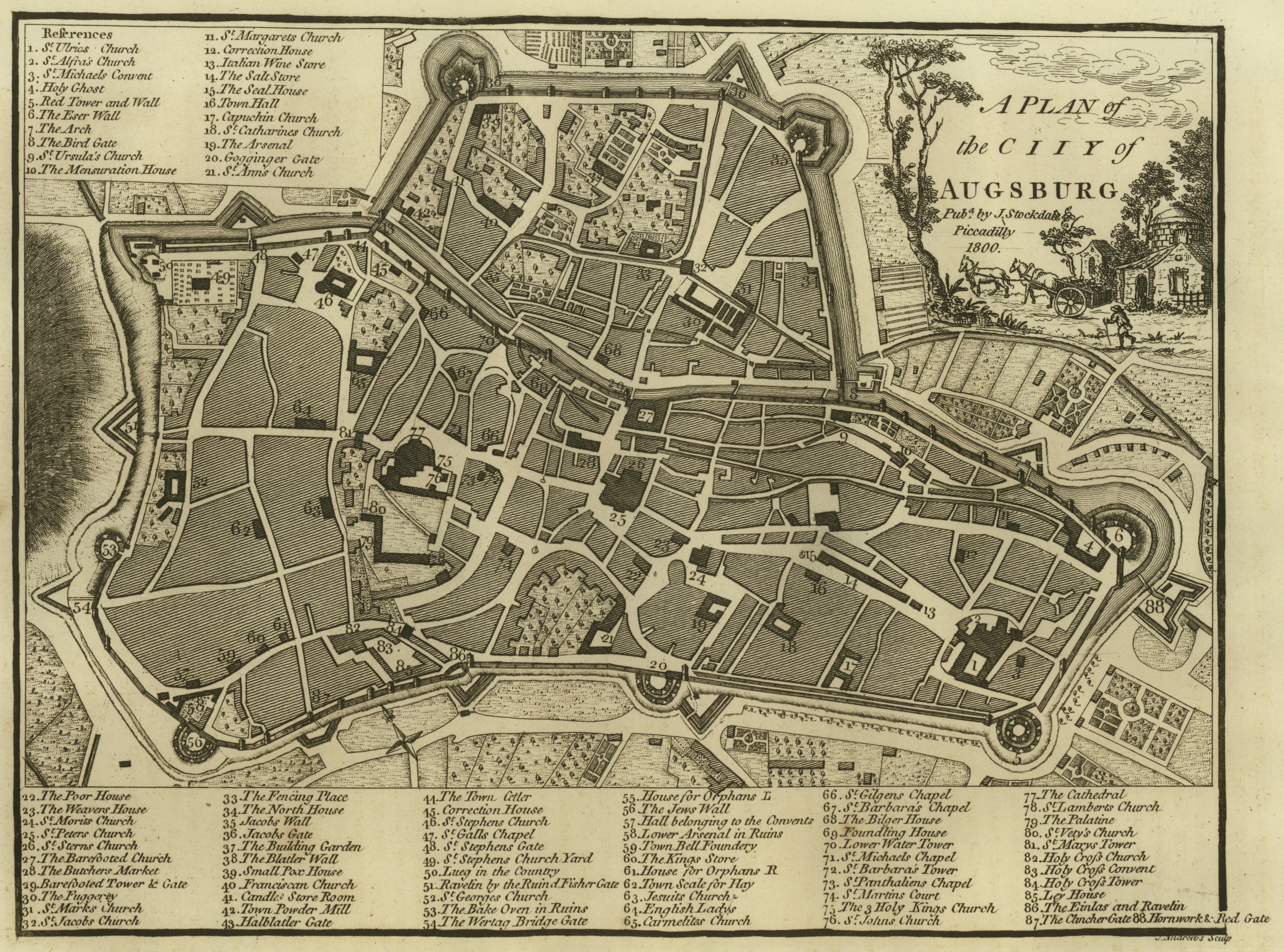
John Stockdale (1749? - 1814)
StockdaleAugsburg.jpg - 5134491 bytes
Alain Manesson Mallet (1630 - 1706)
MalletSourceNile.jpg - 2169013 bytes

National Geographic (April 1945)

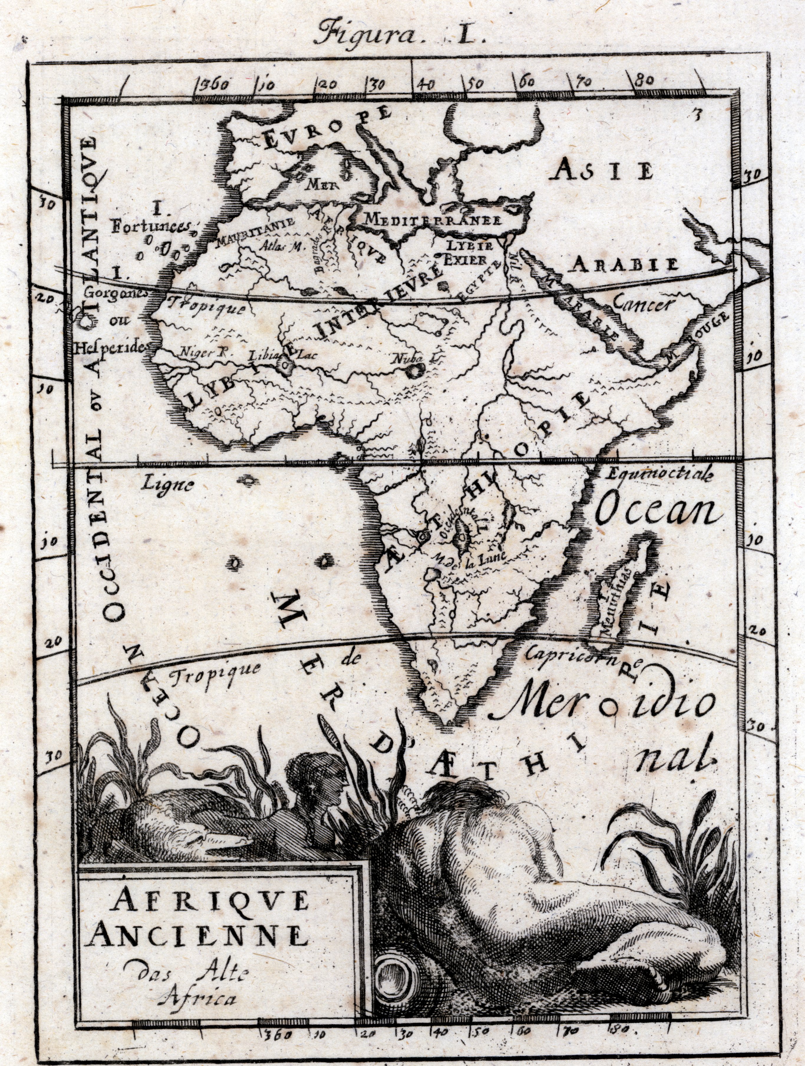
Alain Manesson Mallet (1630 - 1706)
MalletAfrica.jpg - 2384703 bytes
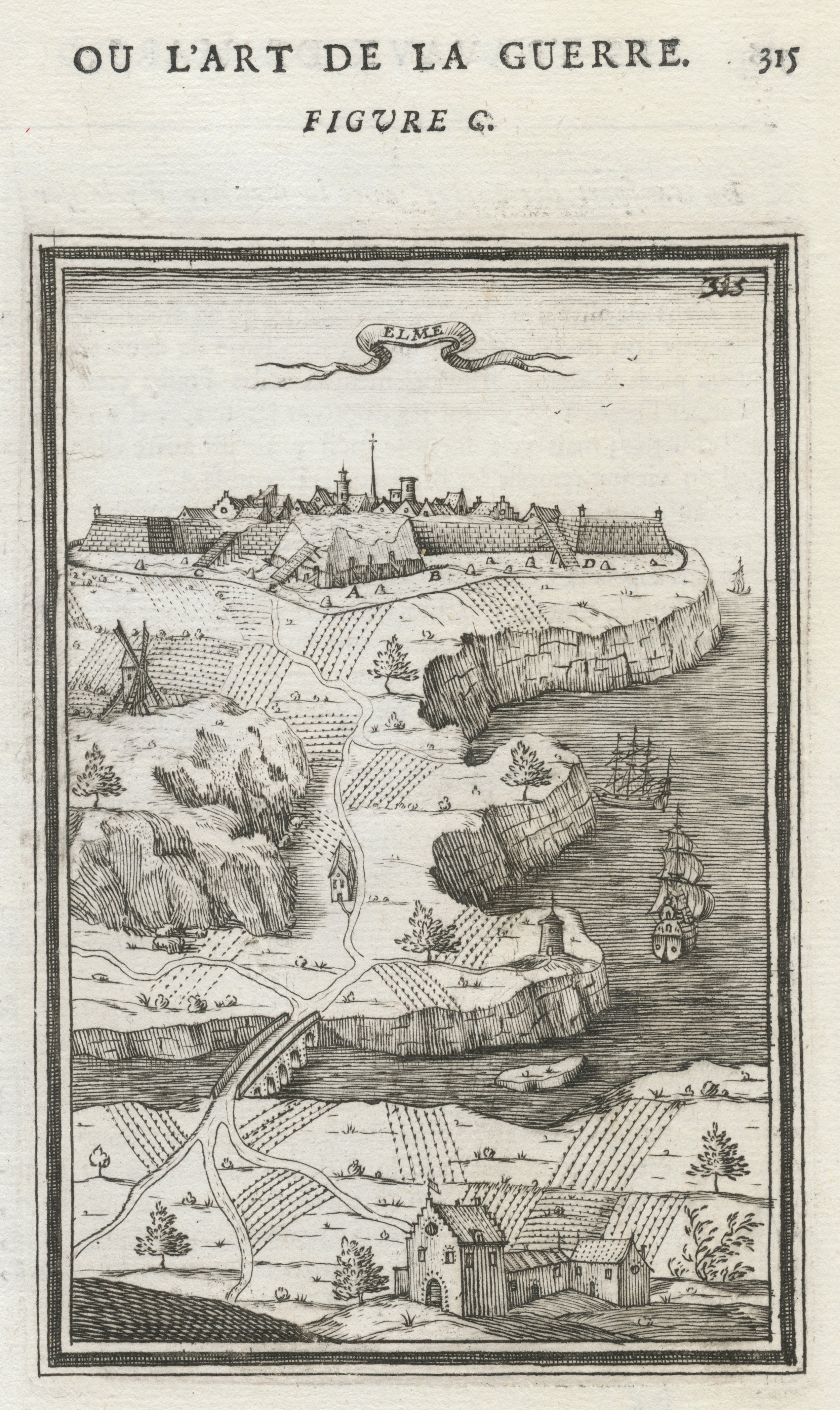
Alain Manesson Mallet (1630 - 1706)
MalletStElme.jpg - 2286864 bytes
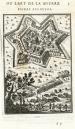
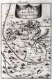
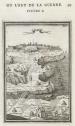
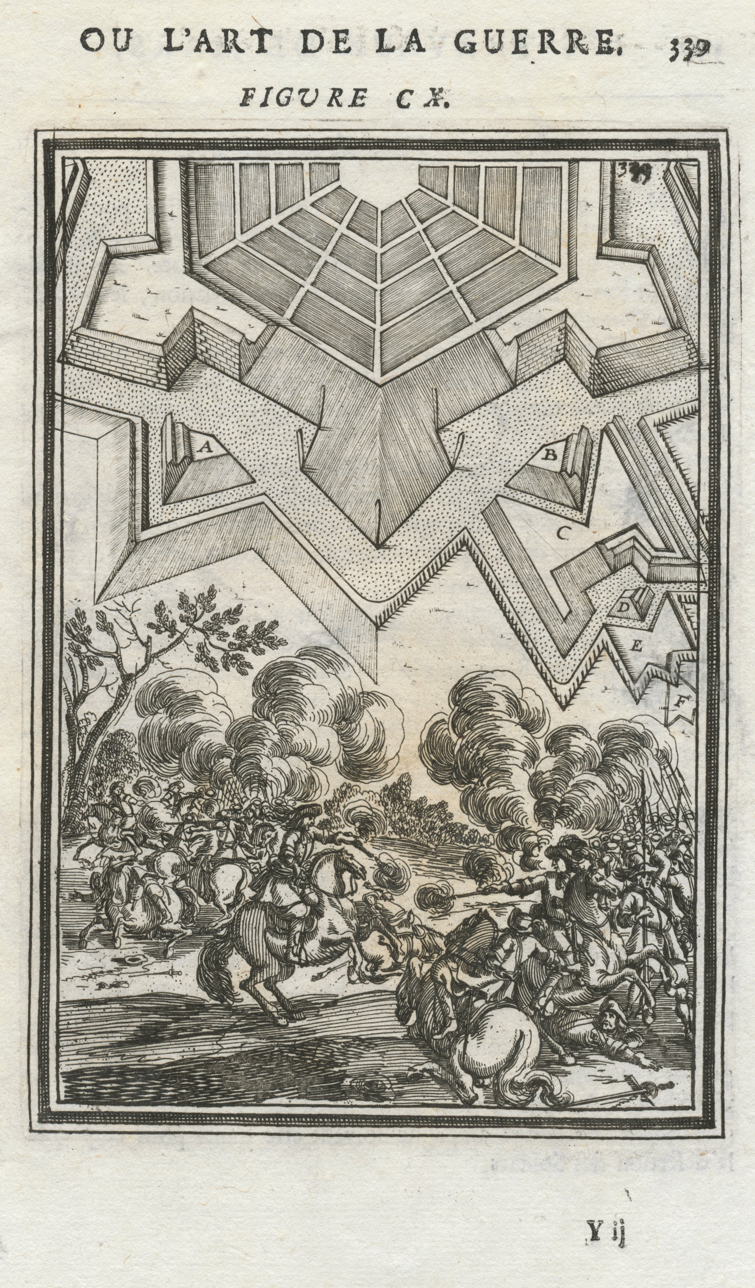
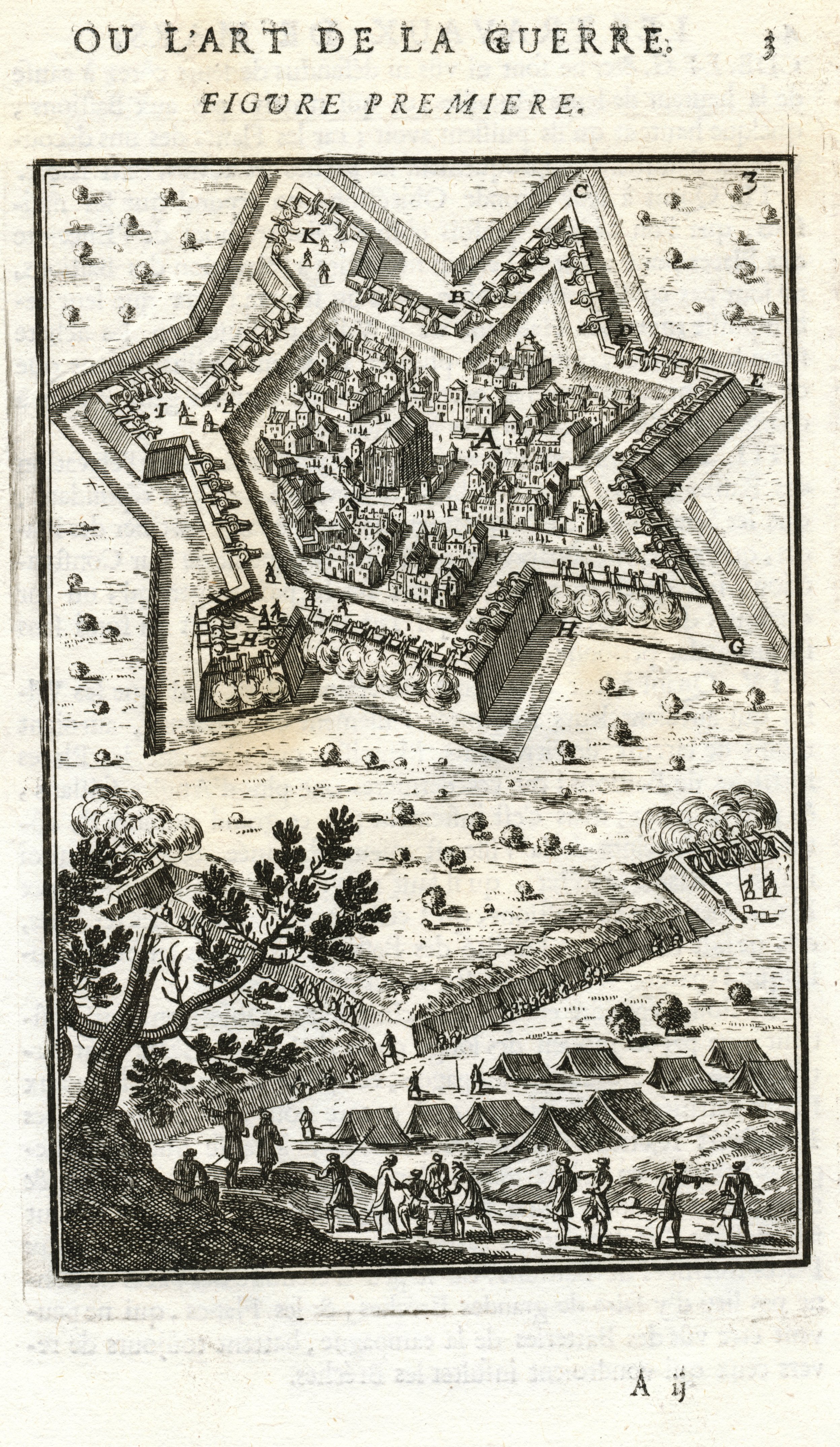
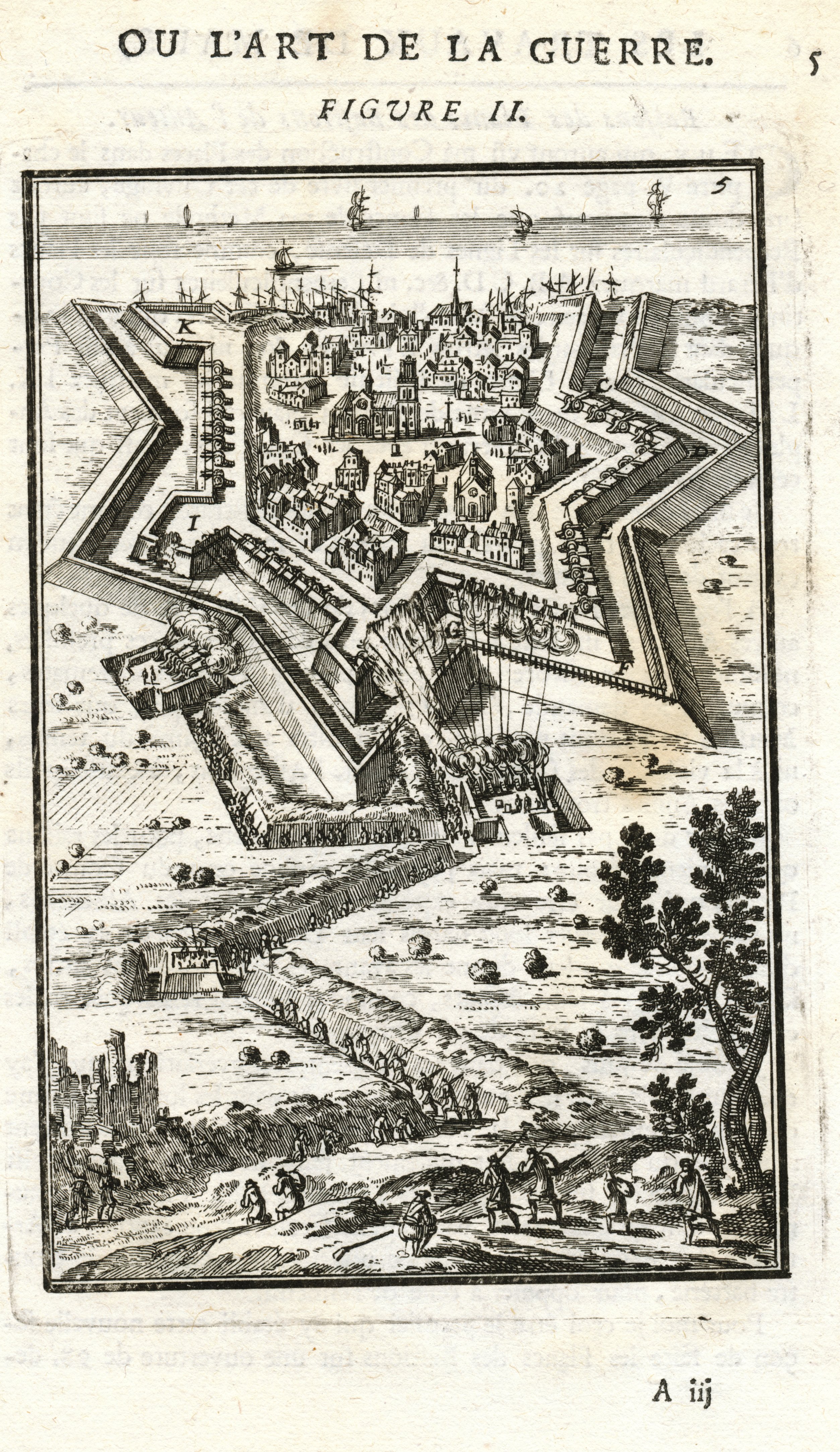
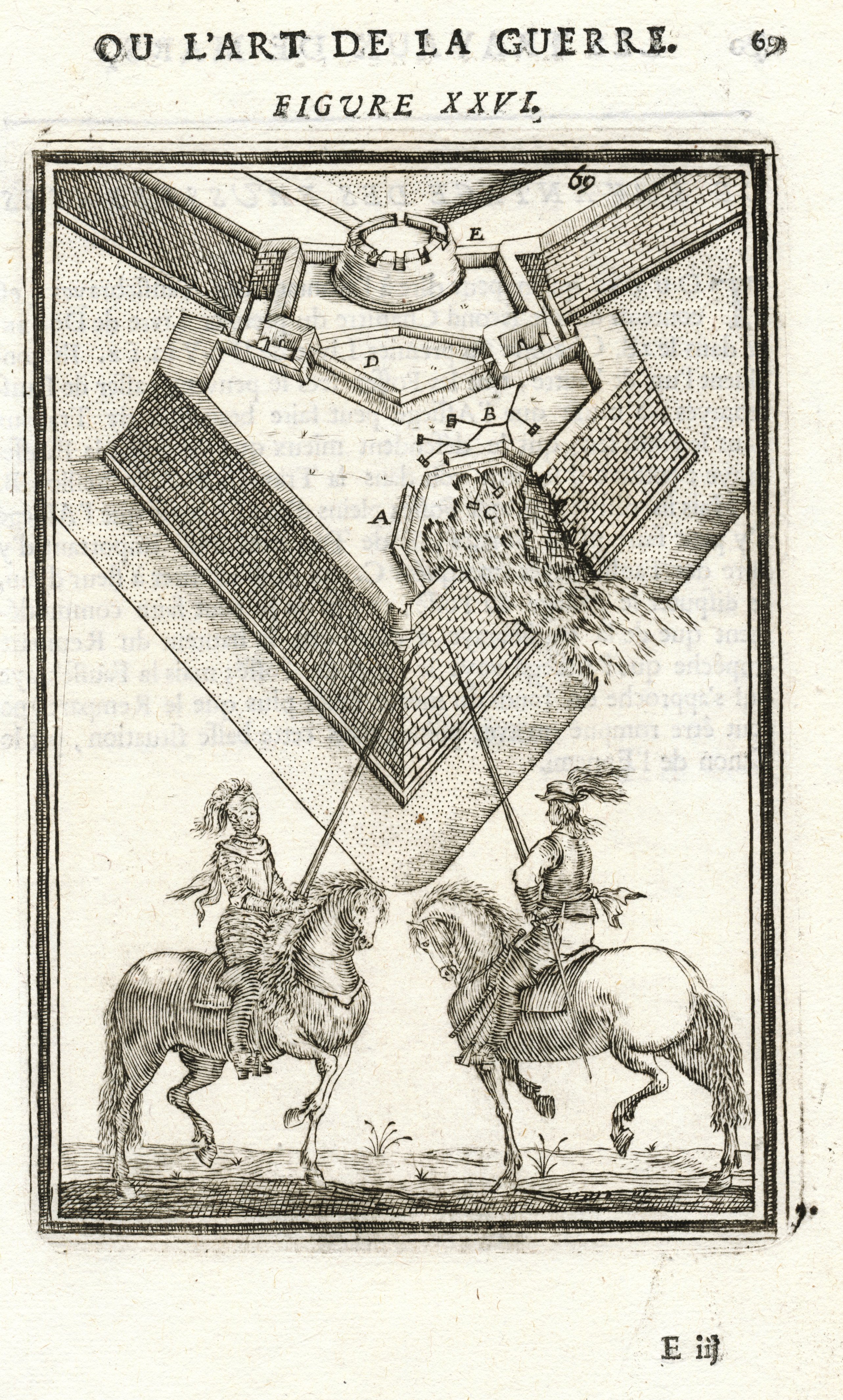
Alain Manesson Mallet (1630 - 1706)
MalletPrint1.jpg - 2726604 bytes
MalletPrint2.jpg - 2787132 bytes
MalletPrint3.jpg - 2784330 bytes
MalletPrint4.jpg - 2705518 bytes
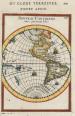
Alain Manesson Mallet (1630 - 1706)
MalletNewContinent.jpg - 2061698 bytes

Pietro Marchetti (c. late 16th - Early 17th Cent.)
MarchettiEgypt.jpg - 941162 bytes

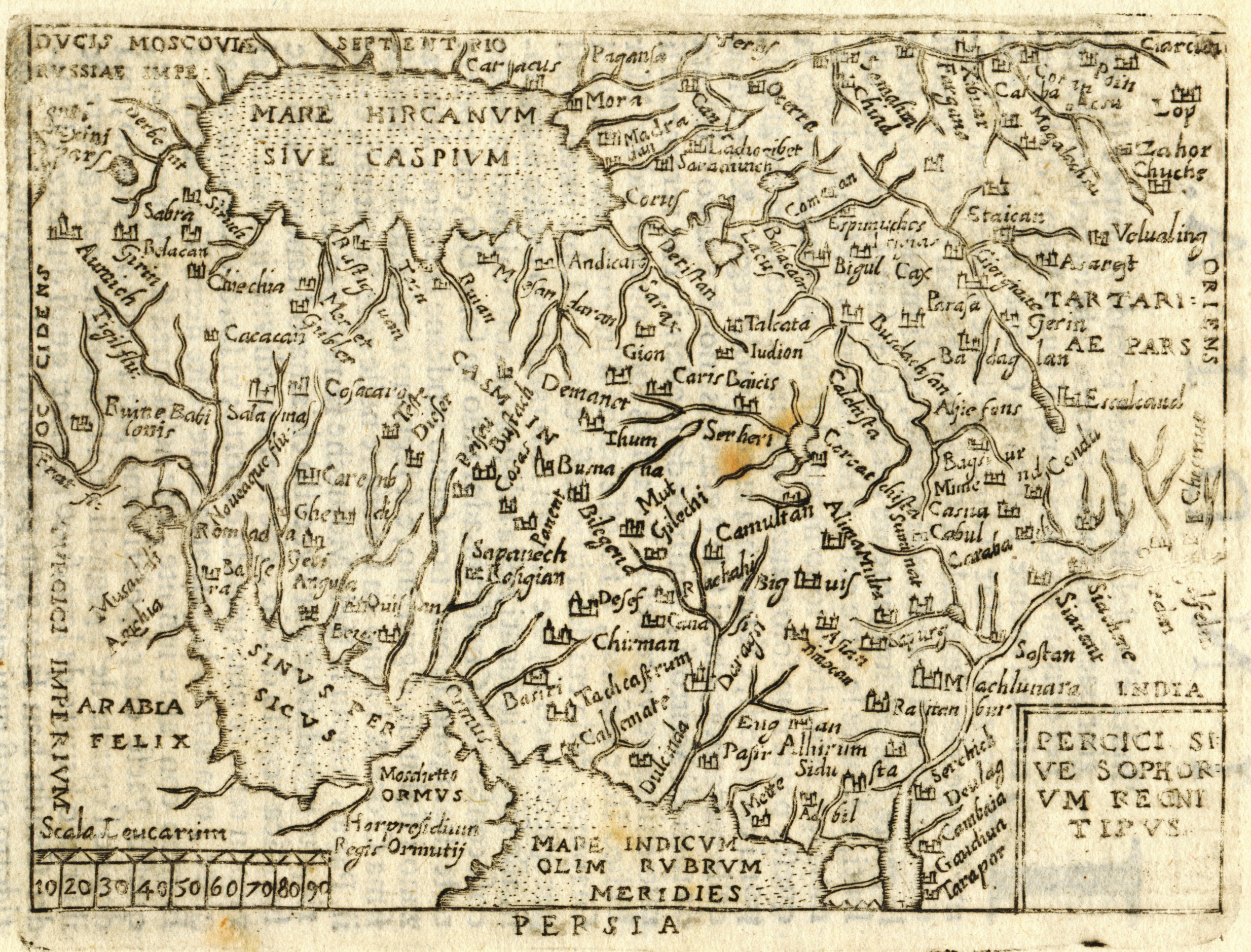
Pietro Marchetti (c. late 16th - Early 17th Cent.)
MarchettiPersia.jpg - 1272174 bytes
