| Main Page -> Maps -> Alain Mannesson Mallet - Paris |
|
|
|
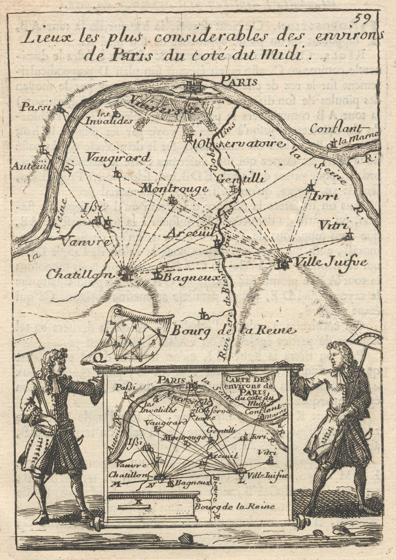
A higher resolution scan of the map. - 604336 bytes
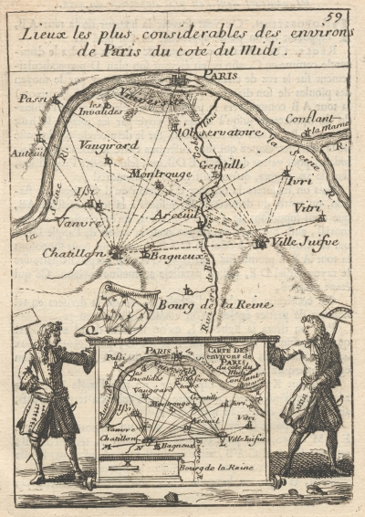
Lieux les plus considerables des environs de Paris du coté du Midi
The most considerable places of the surroundings of Paris of the dimension of the South
Alain Manesson Mallet (1630 - 1706) was a cartographer and engineer working in France during the reign of Louis XIV. I have his map of Africa (Libye Interievre) posted here as well.
This print emphasizes the use of triangulation and its tools in creating accurate maps that was popularized during the 17th century.
Related Content
Mallet: Paris, Africa, Source of the Nile, Africa, Various Prints, St. Elme