| Main Page -> Maps (2) -> Vienna (Wien) |
|
|
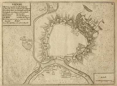
A higher resolution scan of the map. - 1805660 bytes
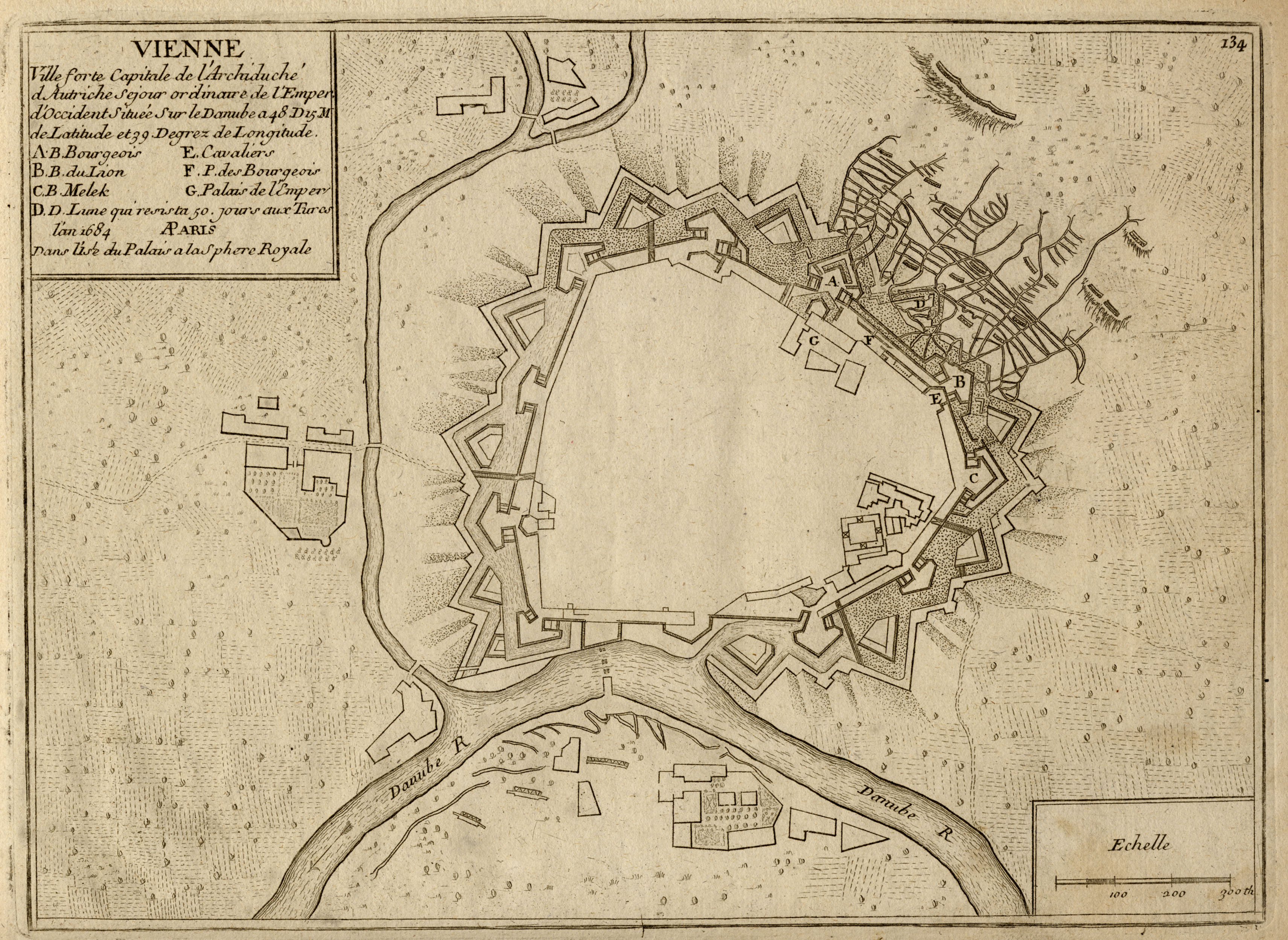
Maps of Vienna tend to be easy to identify because of the distinctive city walls and the proximity to the Danube river. The fortifications were erected in the 13th century and survived until the later part of the 19th century when they were dismantled by decree of Emperor Franz Joseph I on 20 Dec. 1857.
This map has a date of 1684, although I do not believe that is the date it was engraved. I suspect that it may be 17th century but could also be 18th century. This is one of several maps of the city I own, the other most notable is a SDUK print made during the early 19th century.