| Main Page -> Maps (2) -> Albany - 1910 |
|
|
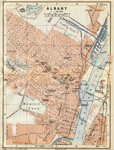
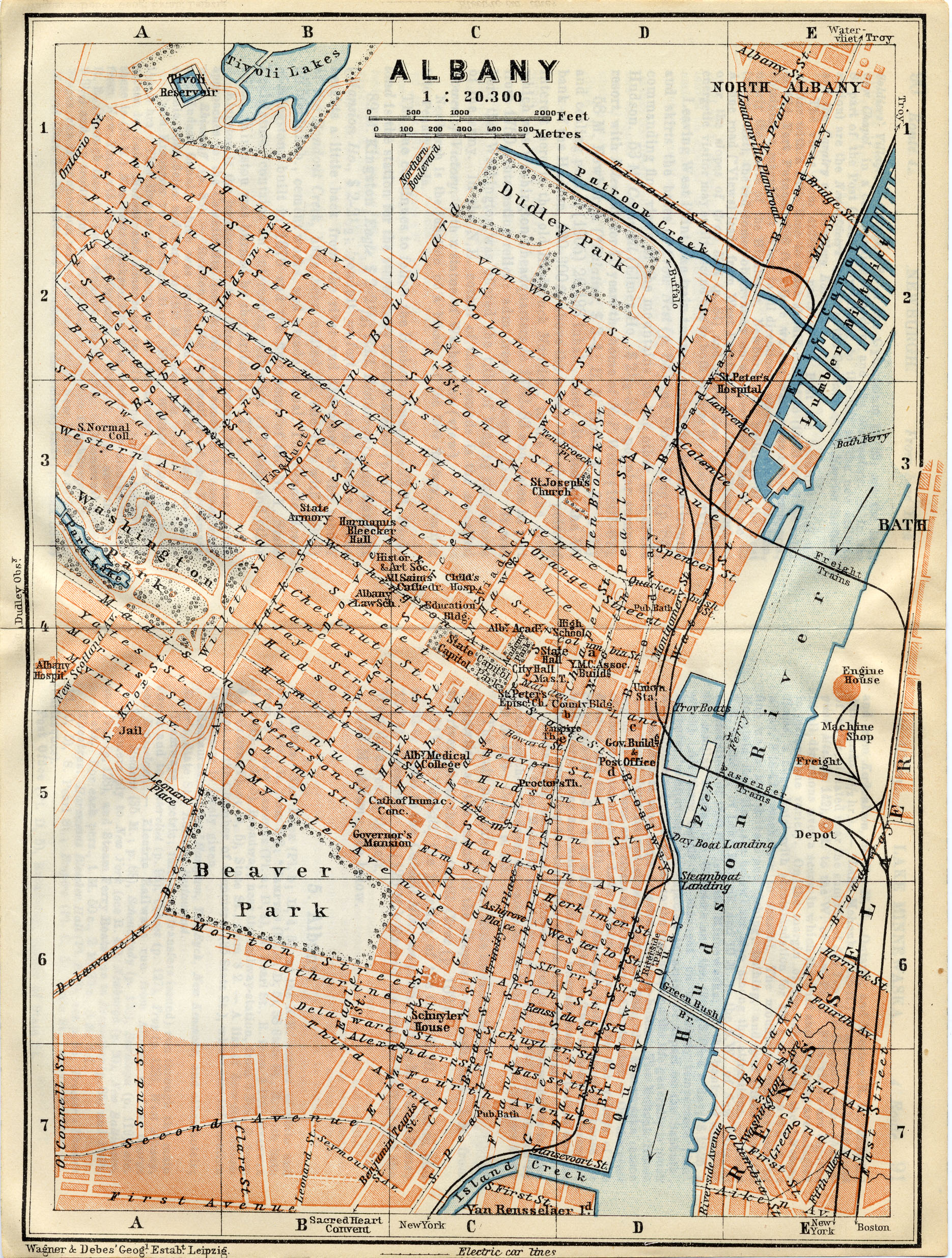
A higher resolution scan of the map. - 2023495 bytes
Much remains the same, but the impact of the Empire Plaza and the automotive age has left its mark on the city. The electric car lines are gone and most of the waterfront has been replaced with the spaghetti mess of I-787.
I also have some prints and images of State Street.
A good source of information on Albany streets can be found here.
The engraver appears to be (Robert) Dudley and the publisher (Heinrich) Wagner & (Ernst) Debes of Leipzig. The dates for Robert Dudley match approximately and he is quite likely this Dudley. While Heinrich Wagner and Ernst Debes may predate this map it is the Geographical Institute that they founded in Leipzig that is listed at the lower left of the scan.