| Main Page -> Maps -> Fort Yuma (AZ, CA) |
|
|
|
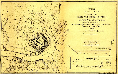
A higher resolution scan of the map. - 1480402 bytes
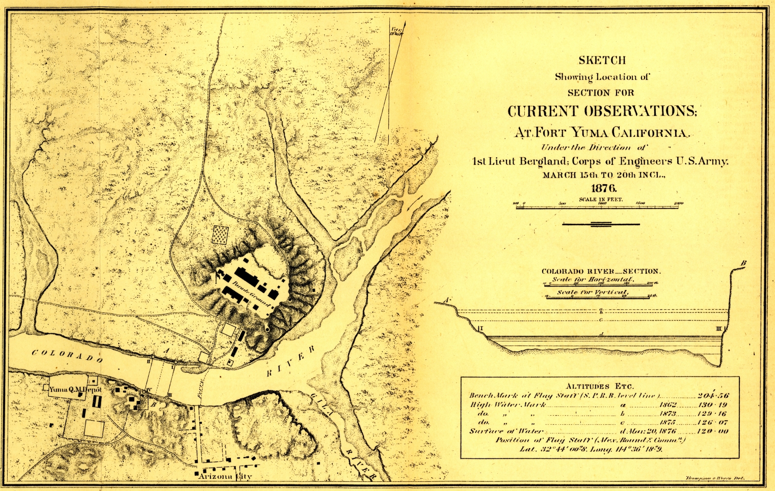
Sketch Showing Location of Section for Current Observations; At Fort Yuma California. Under the Direction of 1st Lieut Bergland; Corps of Engineers U. S. Army. March 15th to 20th Incl., 1876.
The map is specifically the confluence of the Gila and the Colorado rivers at present day Yuma Arizona in the western end of the area defined by the Gadsen Purchase. It is of note that these two rivers do not meet at Yuma today and years of irrigation and related projects have significantly changed the landscape of this area.
The city in this map was labeled as Arizona City even though the name had been changed to Yuma in 1873. The prison is also absent (at least in anything resembling it's present form and location).
The cartographer is Eric Bergland of the U.S. Army Corps of Engineers. He was an enlisted soldier in the Union during the Civil War and then went to West Point. He graduated top of his class in 1869 and served until 1896.
During this era he worked with the Corps of Engineers throughout the southwestern US. He worked under George M. Wheeler, but it is unclear if he was with Wheeler when this survey was completed.
Another interesting note from the satellite imagery is the canal that appears to stop at both sides of the river. The canal is actually tunneled under the river.